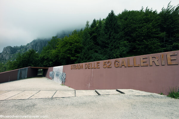
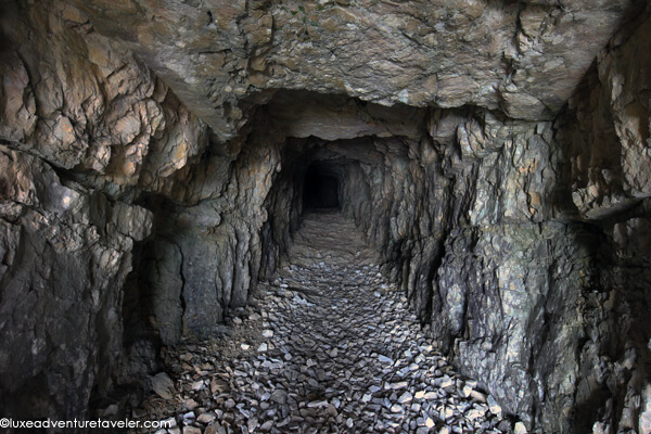
My headlamp shines into the darkness ahead, barely illuminating the rocks as the tunnel twists upward like a spiral staircase cut into a mountain. Tim and I are in a tunnel on Italy’s Mount Pasubio that was built during World War I. In fact, this is just one of 52 tunnels that were built by by the Italian Army on the southern slope of the mountain as a military mule road in order to provide cover from enemy fire. Nowadays it’s a popular hiking route called the Strada delle 52 Gallerie.
The 6,555 meter long road was considered an military engineering marvel and was constructed in just 10 months from March to November 1917 under the guidance of Lieutenant Joseph Zappa. During WWI it was strategically important because it allowed the transportation of supplies and communication away from the Austro-Hungarian artillery fire.
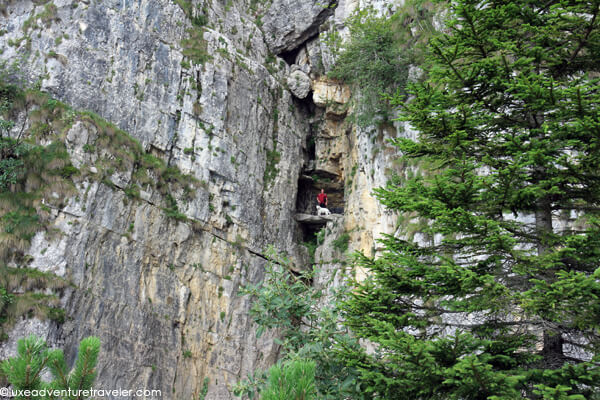
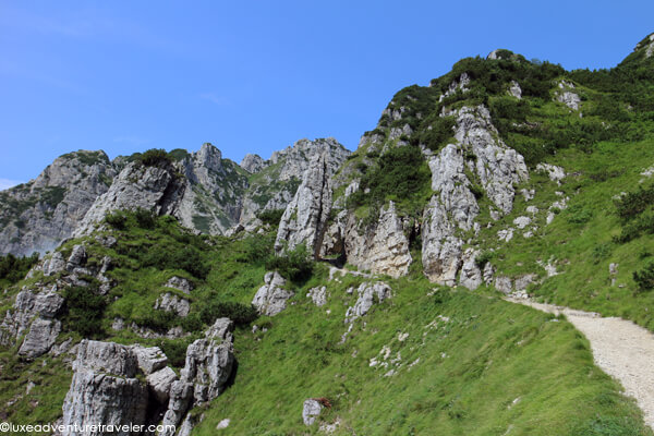
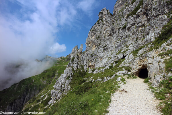
As we trudge up the snaking road (if you can really call it a road), I can’t imagine soldiers leading mules carrying supplies up this, yet alone the miners of the 5th Regiment Engineers surveying and constructing the Strada delle 52 Galleries during one of the harshest winters of the century. The trail immediately heads uphill from the trail head and alternates between dirt track covered in scree and the tunnels dug into the rock.
This is no tourist stroll up the mountain as the trail steeply gains elevation immediately with an average 12% grade and some places reaching a gradient up to 22%. But there are plenty of rocks to sit on and rest, have an energy boosting snack, and take in the views. About 2.5 kilometers of the 6.5 kilometer (just over 4 miles) trail is tunnels, each individually numbered and named and ranging from the shortest at 10 meters long to the longest, number 19, at 318 meters long. The tunnels are at least 2 meters (6 feet) wide and all are at least as tall to accommodate a mule, so they are relatively comfortable to walk through unless you have severe claustrophobia. I only had to hunch slightly in a few to avoid knocking the sunglasses off the top of my head.
Tunnel 20 is the tunnel that twists around itself upward for 86 meters of which you are distinctly aware you are spiraling upward in the dark. Tunnel 27 is 98 meters of literally the best “air conditioning” we’ve felt in Italy. Just barely beyond the halfway point of the hike, I was totally ready to set up camp in that tunnel. If I’d had one of those foldable camping chairs, I might still be there holing up until the sweltering heat leaves Italy in September.
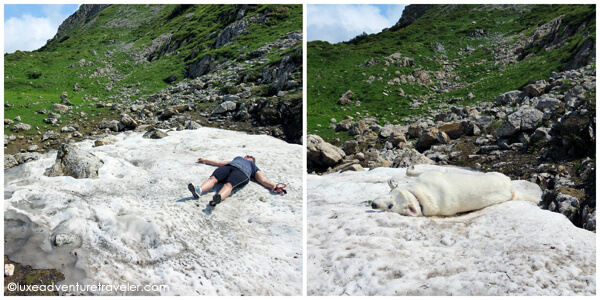
The end of Tunnel 47 is the highest point of the trail at 2000 meters (6,562 feet) and then descends again to 1928 meters. After the tunnels end, there might even be some patches of snow left from winter. Since I couldn’t hang out all day in the magically cool Tunnel 27, I did the next best thing to cool off. I laid right down in the only patch of snow left on the mountain. Hell, I was already soaked from sweating my butt off all the way up that mountain. Emma took one look at me lying there and rolled around. Tim even put down the camera long enough to cool down on the snow too.
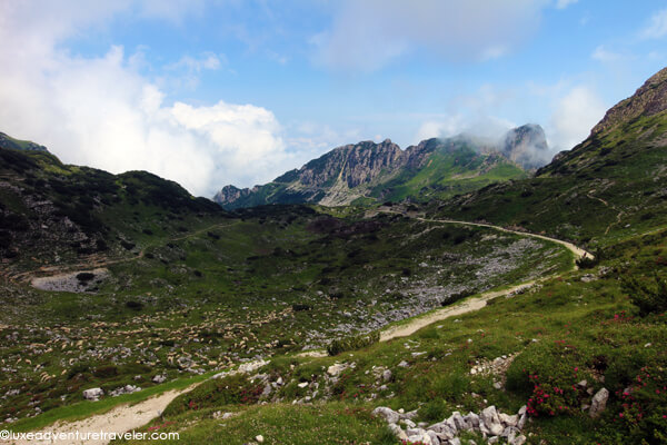
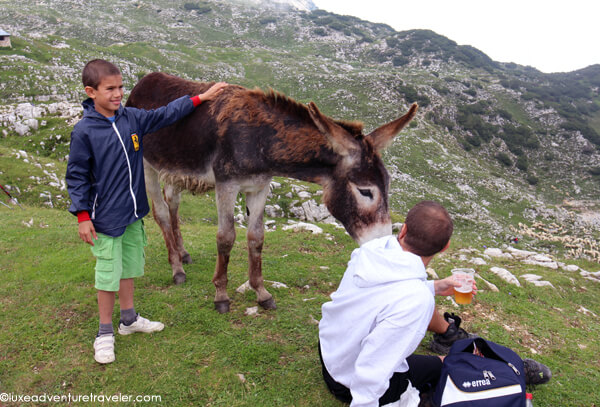
The trail finally comes to an end at Rifugio Achille Papa with breathtaking views over the entire area. Just pack a few snacks to keep up your energy on the hike; once at the end of the trail you can grab a beer or a glass of wine and relax. The rifugio also serves everything from sandwiches to pasta and soups. Soup? After I’d just rolled on snow to cool off? Well, at that height with the clouds rolling in it can get surprisingly chilly.
There are two ways back to the car park: you can either turn around and head right back down on the Strada delle 52 Gallerie or you can take the gently winding road. We opted for the dirt road, which is used to transport supplies up to the rifugio and in case of emergencies, plus a few footpath short cuts between the hairpin turns of the road. Doing the full loop is 17.5 kilometers (10.8 miles) total or up and back on the Strada delle 52 Gallerie is 13 kilometers (8.1 miles) total.
Know Before You Go
- Strada delle 52 Gallerie is open for hiking in the summer. It shouldn’t be attempted in the winter because of dangerous conditions and the possibility of snow blocking the tunnels.
- Parking and entrance are free. Dogs are allowed.
- A headlamp or a flashlight is a necessity.

Dale says
The hikes in Italy can be really something special – and as you’ve shown – incredibly beautiful too!
Katherine Belarmino says
I do love hiking and history, and yay for dog friendly! It always amazes me when I’m huffing and puffing up a trail that it was originally made for people carrying heavy weight or for getting from one place to another frequently.
Brad Bernard says
What a great hike! Amazing pictures.
Roman says
What dazzling photography. Very inspiring, would love to travel there too!
Terry says
Great photos…love this travel blog!
Frank says
Nice post Jen, I love hikes, especially when there are views involved. Want to make it to the Dolomites one day, looks beautiful.
Frank
Kay says
Hi,
I was hoping to get some information from you. My husband and I are in our seventies so doing this hike is not possible for us. However we saw a documentary on these tunnels and are fascinated. We are still quite active and do a fair amount of travel. We are going to visit Europe this summer in mid July (from California) and we were hoping we could check this out.
My question is as follows.
If we park in a parking lot (and we would need this location) how far would we have to walk to get on the trail and inside the first tunnel? What would the terrain be like and what would we be able to see if we walked about 1/4 to 1/2 mile from the parking lot?
We would love to be able to experience this even on a limited scale, but do not want to travel this distance if we are unable to see anything. What would the temperature be in mid July?
Thank you so much.
Happy Travels
Jennifer Dombrowski says
The 52 tunnels are spaced out along the length of the trail. It is possible to see a few of them with hiking only a limited distance. Temps will be warm in July in Northern Italy. But the hike does start at a higher elevation so it will be cooler than whatever town you will be coming from. I’d just suggest getting there in the morning for parking as well as cool temperatures. The trail isn’t difficult per say, just hike as long as your comfortable and when you’ve had you share of tunnels feel free to turn around. It would be helpful to bring a flashlight or headlamp as well. The GPS coordinates for the parking lot are 45.7790° N, 11.2280° E.